


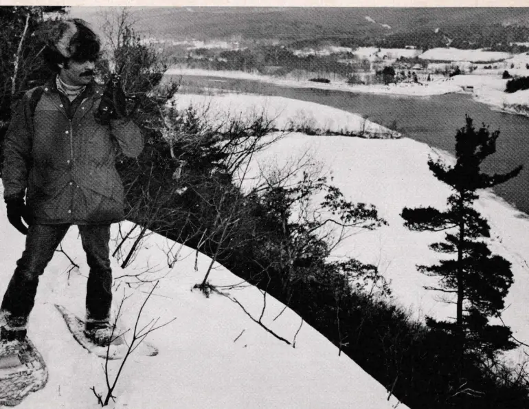
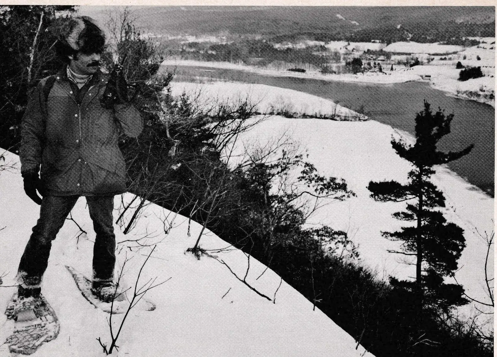
The anonymous source of that quote might also have included the sharp pencil of the successful business person, but it really doesn’t matter because profit is the natural by-product of the other qualities—at least as far as John Frado is concerned. His premise, expressed over and over again in different ways during an interview with Ski Area Management, is that well-designed and well-built ski touring trails pay off financially because they produce longer seasons and need less maintenance and grooming.
Frado, a stockily built, soft-spoken man with dark curly hair, talks about the experience of developing ski touring trails with expressions of love. “Trails must fit their surroundings, flowing with pleasing lines and no sharp turns . . . building a trail is like creating a piece of sculpture,” he says. He might almost be describing a woman he loves.
Under Frado’s guidance, an extraordinary effort has taken place at Northfield Mountain to create those works of sculpture, both for aesthetics and profit. On three weekends last season, Frado softly boasts, Northfield was open when icy conditions had closed most other ski touring centers in New England. Translated to terms of dollars and cents, he said, those three weekends meant $16,000 worth of revenue that Northfield otherwise would not have had.
Two winters ago, during the 1980-81 no snow season that wiped out the expectations of so many other ski touring centers in New England, Northfield operated for 16 days “and offered good conditions on 14 of them with an average snow depth of four inches,” Frado says. The area attracted 6,000 skiers during that infamous season, a number that at least began to approach its break-even point of 10,000 skiers. Last season, with ample amounts of snow, Northfield attracted 22,000 skiers and its teaching staff gave 3,200 lessons, an amount that Frado thinks might be a world record.
Many ski touring center operators question Northfield’s accomplishments, Frado acknowledges, because the area is operated by Northeast Utilities, a conglomerate of six electric companies. Skeptics think this means that Frado has a blank check to do whatever he wants, so little wonder Northfield is successful.
“That’s not true,” he declares with considerable emphasis. “Number one, even though there are some advantages in corporate ownership, we also have to pay Northeast’s wage scales which are considerably more per hour than other ski touring center operators must pay. Secondly, the recreation area that is maintained by the utility cannot lose money overall. And thirdly, because Northfield does not want to compete head-to-head with commercial centers, we do not engage in direct advertising—only advertising of a cooperative nature with other areas.”
“The point is,” Frado concludes, “that anybody can make a ski touring center go if they put their money in the right places and one of them is trails.”
The 37-year-old Frado might add, that such a trail builder should have education, experience and interest as well as intelligence for the task. Frado’s education includes four degrees: an associate in arborculture, one bachelors in park administration and one in landscape architecture, and a master’s in resource planning. He was one of the originators of the Nordic Ski Patrol and has been involved in its training programs, and has served on the boards of directors of practically every organization that has any concerns with cross country skiing and touring center operations.
An Electric Mountain
What is Northfield? Basically, it’s a mountain with a 1,000-foot elevation adjacent to the Connecticut River with a reservoir at its summit and a gigantic underground electric power station in its bowel that is capable of generating one million kilowatts of electricity during times of peak demand. The system works by using electricity during low-demand periods to pump water from the Connecticut to the upper reservoir where it is stored until demand peaks. It is then released through 700-foot long vertical pipes sunk beneath the reservoir to drive turbines that generate electricity, before emptying back into the Connecticut. Construction of the facility began in 1967 and commercial operation began in 1972. The entire project cost approximately $140 million with about $1 million spent on landscaping the mountain and its immediate surroundings. One of the conditions attached to building the installation was that Northeast Utilities construct a recreation area. Frado, associated with the recreation complex since its beginning, supervises all activities, including cross-country skiing, hiking, horseback riding, camping and picnicking, as well as canoeing and riverboat trips on the Connecticut River.
Although ski touring has come to represent the most intense use of the mountain, Frado says Northfield would be the last mountain he would use for ski touring trails if he had a choice because, as a protuberance rising from a small plain, it does not offer a rolling terrain. Instead the 25 miles of trails circle the mountain, following its contours, until they reach the summit. A better approach to cross-country ski trail development, Frado suggests, is to take a tip from the downhill areas and scout the terrain before locating a center. That doesn’t usually happen, he observes, because most operators already own the land and decide that a ski touring center would be an appropriate use for it.
In a short piece about cross-country ski trail design, Frado wrote that trails have the unique multiple distinction of being a planning tool, a transportation corridor and a recreational entity, all at the same time. He notes that they can be used for physical fitness, for education and for fun, “but if they are to provide all of these services well, they must be thoughtfully planned and creatively designed.” Historically, he notes, “they have not received the professional attention that they deserve.”
Design Criteria
During the winter of 1971, before designing Northfield’s trail system, Frado investigated existing cross-country ski complexes in New England, and concluded that most of the trails he saw were too narrow. Instead of being designed as cross-country ski trails, most centers used old roads, many of them with high crowns in the middle and sharp turns. They needed to be safer, he decided, with more room for run-outs on the downhill and for mechanized grooming machines to maneuver. As a result of that study, he designed the Northfield trails to meet the following criteria:
- A 12-foot wide trail surface on a 15 to 20-foot wide corridor to allow for adequate drainage;
- Two-way traffic so that skiers could maximize the facility by going in one direction;
- Establishment of objectives for the use of each trail, such as a point of interest, a nice view, a geologic formation, teaching, or transportation;
- The disbursement of skier traffic at the very beginning of the system so that skiers could experience “getting away from it all” almost immediately;
- Construction of the trails to F.I.S. standards, so that they could be used for racing as well as for recreation;
- Construction of the trails in a way in which they could be used by hikers and campers in the summertime, but not by motorized vehicles.
Designing a trail begins with a topographic map where corridors are identified by studying areas of public lands, grass lands, wet lands, contours, potential natural attractions or obstacles and potential congested areas.
“Natural obstacles can be a problem or an attraction,” Frado observes. “Good drainage is critical because an operator just cannot afford washouts during times of thaw or premature loss of snow. Beauty is important . . . you want to end up with a trail that looks as if it has been there for a long time, one that flows with pleasing lines and no sharp turns.”
Among other things, no sharp turns means avoiding “T” or “X” intersections whenever possible. This can be done through the use of triangular traffic patterns at the point of convergence or simply having the secondary trail angle off the primary trail. The advantages are not only aesthetic, Frado points out, but also highly practical because grooming equipment can operate much more efficiently on gradual turns than on sharp ones.
Trails should be made as interesting as possible by taking advantage of natural features, he advises. That means that large boulders or rock formations should be allowed to remain because they offer spots for sitting, romancing, picnicking, shelter or photography. Frado observes that panoramic views are automaticlly considered interesting, but that other smaller features such as brooks, rocks, a stand of trees, sunken stone walls, also create interest. Old cemeteries are particularly interesting, he believes, as well as cellarholes, foundations, and other evidence of habitation in former times.
“You might think that an old structure is shabby or an eyesore,” he remarks, “but it might be just the thing to provide interest along the trail.”
He strongly recommends that trailbuilders consider the needs of amateur photographers, because photos, like word of mouth, make such good advertisements for an area. Trails should take full advantage of potential photo opportunities by creating frames for scenes, using such features as trees, rocks or fences. In some cases, creating photo opportunities may require construction, such as an observation deck on a rock or an elevated platform to gain the angle needed.
“Such extra effort is well worth making,” he observes, “because photos mean recall, a happening that is critically important for repeat business.” As a footnote, he suggests giving unusual or interesting names to trails, an action that will further encourage the process of recall.
Artistic Cutting
The second step in trail building involves flagging trees in the corridor for cutting, a process that Frado describes as the first real step in creating the “sculpture” that will be the trail. Trails should have the same kind of flow as musical symphonies, he believes, except that instead of using sound, the trail builder works with light and shade and open and closed areas, varying them to create a work of art. The flagging process defines the rough shape of the trail, as natural features that will enhance interest are identified, along with such problem areas as excessive grade and poor drainage.

“It is critically important at this stage that work crews understand the goal of the trail,” Frado emphasizes. To increase their sensitivity, he will often purposely flag trees that he doesn’t want cut. “Then I will ask crews to comment on the layout . . . this generates a discussion which helps to promote an understanding of the goals.”
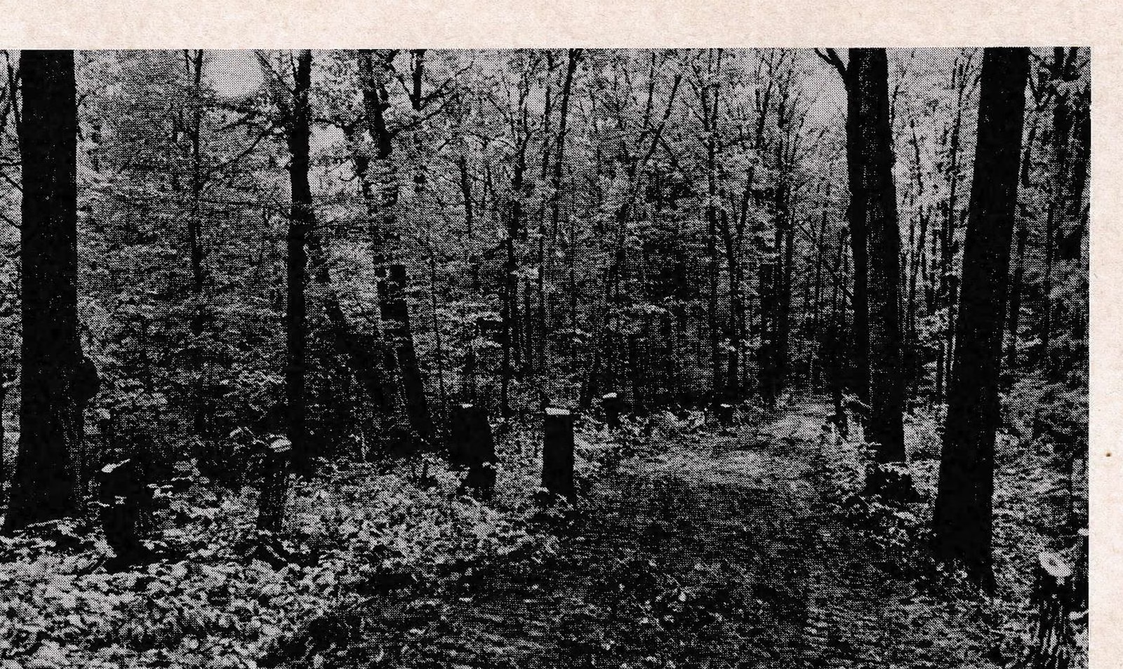
The third step is to cut the trees, leaving approximately three feet of stump, a height sufficient for the blade of a bulldozer to catch as it upends the stump from the ground. The dirt is shaken out and left on the trail, windrowed down the center to provide the fill to be used during the final stages of construction. The stumps themselves are hauled away for burial.
“I am very stingy with materials, such as the dirt and stones that come from the tree roots,” Frado comments, “because they can be used later for fill or, in the case of stones, to harden the sides of the trail for stabilization.”
Frado is emphatic on the need for neatness at this stage of trail construction. The trees are hauled away or cut up and stacked in neat woodpiles. Slash is buried or otherwise removed. If the clean-up operation is neglected, the trail looks as if it doesn’t belong in its surroundings and the facility appears unfinished, creating a disquieting feeling for users.
Construction of good drainage systems is critical to trail construction, because improper drainage erodes snow cover or creates icy conditions. The design and construction of systems to carry water away is a whole science in itself, Frado comments, one that combines a knowledge of soils and vegetation, with the behavior of water, and finally “a lot of seat of the pants engineering.”
Frado favors ditching only one side of a trail, thus saving time in hauling material and also concentrating work in one place. He also recommends flat trail surfaces, but ones that are tipped ever so slightly to allow for drainage. A pitch of two to five percent, he has found, is imperceptible to skiers, but sufficient to make water run to the side. Flat trail surfaces, he explains, will accept a uniform depth of snow. If there’s a crown in the middle, as there is on many woods roads, that crown will become a thin spot and eventually a bare spot, long before it should.
Banks on the sides of trails are also important. “Weeping” or “bleeding” situations where water seeps out onto a trail because of a grade must be avoided by tapering the banks carefully with ditches at the base to carry off the water. Whenever possible, banks should be seeded with a mix that includes grasses that grow quickly to hold the bank and others with a variety of root depths to stabilize the surface and discourage erosion. Frado says he has obtained good results from the mix prepared by the U.S. Conservation Service and available commercially.
“An effective seed mix is a little bit like waxing skis for variable conditions,” he quips. “If enough variety is used, something will hold.”
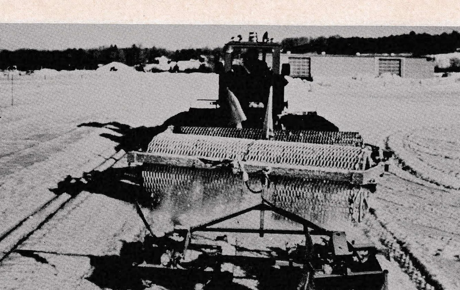
The final step is to drag and rake the trail to obtain a smooth surface. At Northfield, and probably for most other parts of the northeast, the glacial till gives the surface sufficient hardness so long as there is no horse or wheel traffic, Frado observes. But if the trail is going to be used by horses or wheels, extra hardening treatment may be necessary. In those cases, he recommends covering the trail with about two inches of gravel, and then rolling it in with the clay. Gravel has the added advantage of helping to dry out the surface during wet periods.
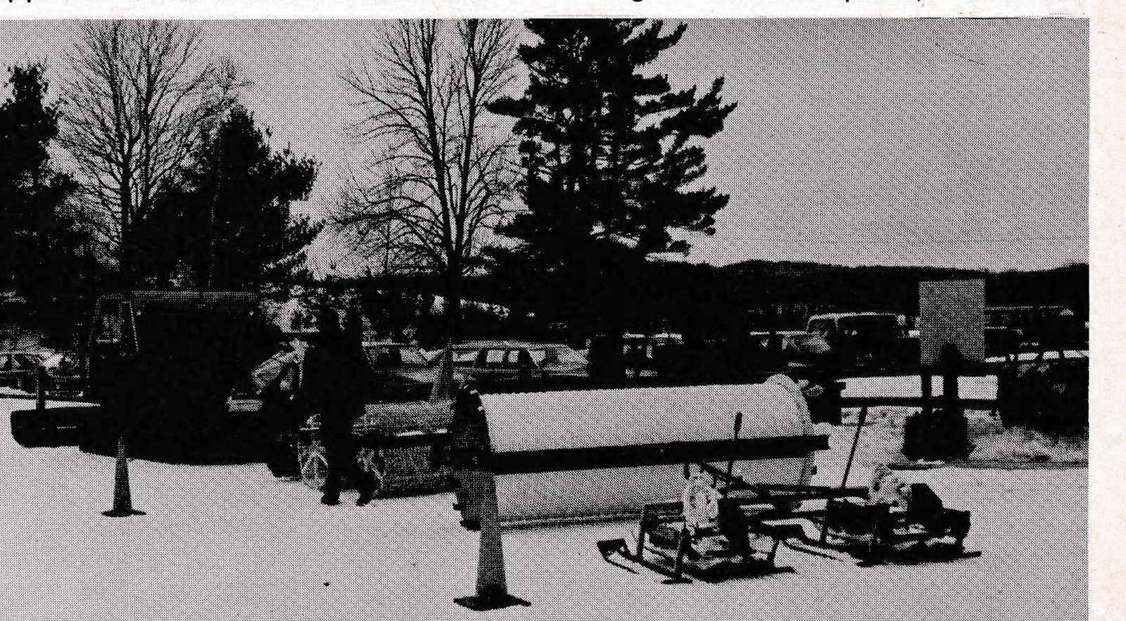
Frado also recommends wood chips or bark mulch in wet areas because they help dry the surface sufficiently for the snow to stick, particularly in the early season when a center wants to gain all the depth it can from each fall. Of the two, Frado prefers bark mulch because it develops a mat. The materials can be spread effectively with a conventional manure spreader, a discovery he made several years ago which has saved him considerable time ever since. An added advantage of both mulch and chips is that they provide a slippery surface for skiers in marginal conditions. “You can actually ski on frost,” Frado says.
This is the first of a two-part series on John Frado’s trail designing techniques. The next part covers Frado’s ideas on culverts, water bars and corduroy.—Ed.
A Mountain for Touring
The Northfield Mountain Ski Touring Center has 25 miles of trails that wind up to the summit of the 1,000-foot mountain. Trail surface widths vary from 12 to 15 feet and each is laid out on a corridor that is from 15 to 20 feet wide.
John Frado Jr., supervisor of the area, says that those widths allow for grooming and maintenance efficiency, two-way traffic and adequate drainage control.
Frado also reports that the trails cost $4,000+ per mile for construction, $300 to $400 per mile for non-snow maintenance annually and $500 to $600 per mile for grooming, a cost that includes amortization of machinery, fuel, labor and repairs.
The maximum carrying capacity for the trails is 80 skiers per mile; the maximum allowable weekend capacity is 4,000 skiers (2,000 per day); and the optimum seasonal skier days are 30,000 for weekends and holidays, 15,000 weekdays. The normal optimum season is 30,000 skier days.
Northfield is located on Rt. 63 about five miles south of the Vermont-Massachusetts boarder and a few miles northeast of Greenfield. The area is an approximate 10-minute drive away from Exit 27 on Interstate 91.