

Decades ago, my father, manager of a large engineering operation, was a stickler for detail. To make that point, he posted a quote that covered one entire wall of his office. Whenever he received an incomplete report, he would silently point the errant writer to the quotation:
I keep six honest serving-men
(They taught me all I knew);
Their names are What and Why and When
And How and Where and Who.
—Rudyard Kipling, The Elephant’s Child from the Just-So Stories
With his penchant for precision, my father would approve of the Global Positioning System (GPS). Highly accurate hand-held GPS units make it possible for businesses to use GPS devices with reliable accuracy for a number of outdoor uses. Many ski areas have already realized the potential for this new tool to pinpoint locations in accident investigations and construction planning. Some have coupled location data with computer-generated contour maps for even greater accuracy. Yet, the potential of GPS has barely been tapped.
Results from the Field
First, understand that these devices are highly accurate. In 2000, I took part in a Backpacker magazine field test of GPS consumer units. Over a six-month period in 2000/2001, our group used a variety of consumer GPS units in hikes, climbs and ski trips. We evaluated the units for such features as ease of use, battery life, screen clarity, size, and so on.
In the beginning of the Backpacker trials we tested the accuracy of our consumer grade GPS units at Mt. Rainier National Park, where I work as a volunteer ranger. We compared results of a sophisticated field grade GPS unit, a Trimble Pathfinder Pro XRS, with several hand-held test units.
The Trimble GPS, made by a company that specializes in military, commercial and survey grade GPS devices, consists of a battery backpack, a brick-sized input device and a four-foot antenna. The compact, lightweight consumer test units, which ranged in retail prices from $170 to $399, were surprisingly close to the Trimble’s baseline figures for the several sites where we could get good location figures—sites that allowed wide access to the sky and where our acquisition time was reasonable. And while the expensive, bulky Trimble took minutes to run sophisticated self-test programs before acquiring a location, the consumer units acquired target satellites in seconds. We were impressed.
GPS and Risk Management
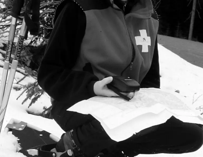
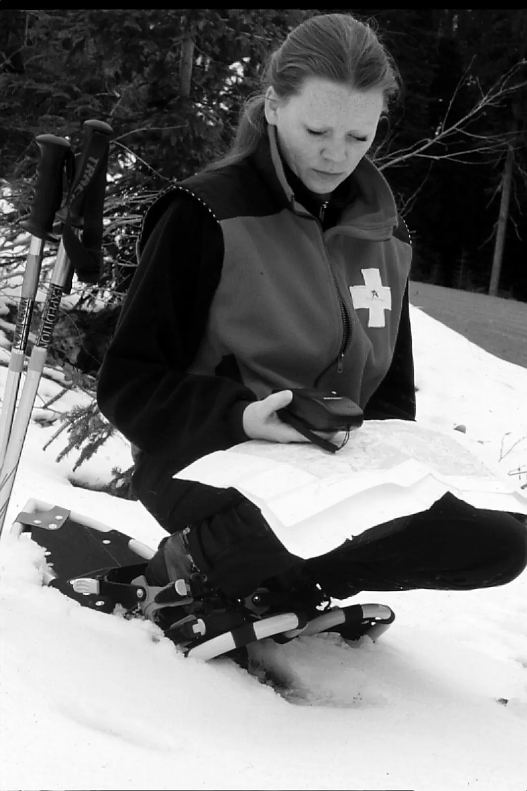
At the same time, the test GPS units were used at the Summit-at-Snoqualmie, Washington, where I work as a professional ski patroller. With the encouragement of risk and patrol management I recorded GPS locations at Summit Central and Summit West in about 30 incidents in the 2000/2001 ski season.

Using GPS to accurately pinpoint the accident location at the time of the incident makes it easier for the ski area to defend itself. To illustrate the practical value of GPS use in accident investigations, consider the following case studies (names and specific incidents have been altered to protect all involved):
Case 1: “That ski instructor made me go up on that steep slope,” says Baker, an angry middle-aged beginning skier to an aid room patroller. Later Baker’s attorney will claim, based on his client’s recollections months later, that a negligent area employee, the ski instructor, took her to a black diamond area that was beyond her ability.
The ski patrol, however, recorded the accident location by GPS and wrote a narrative description. The written narrative is vague, as the incident is in the middle of a vast open area. But the GPS shows an exact location for Baker’s accident, an area with a four-degree slope that is routinely used to teach beginners, including pre-school children.
Case 2: Jones, a teenage snowboarder, enters the ski area’s terrain park, launches from the first hit and misses the landing completely. He slides through the park’s perimeter fence and hits a tree that is outside the terrain park. Jones alleges that he was riding at a normal speed and was only slightly off course when he left the hit.
Smith, another teenage snowboarder, was the single witness to Jones’ crash. Smith states that Jones was traversing across the hill at high speed and out of control, entered the terrain park and immediately went to the first hit. Smith says that Jones rode into the park at a sharp angle, literally jumped right out of the park and slid through the fence and into the tree.
In the accident investigation, the risk manager uses a GPS to record the position of the first hit’s ramp and Jones’ landing point. Measurements were taken from the landing point to the perimeter fence and the tree location. From this data and using a contour map, the ski area can show that Jones was traveling at a sharp angle into the park, establishing that Smith’s testimony has accurately described Jones’ route of travel. This also lends credibility to Smith’s testimony that Jones was traveling at high speed and was out of control.
Will GPS use save your ski area from lawsuits and simplify locating manmade structures and obstacles? Only partly, says Ruth Nielsen, defense attorney for Washington ski areas. Nielsen writes, “GPS is just one possible tool we can use for recording key information after an accident. The important thing is to try and get the best complete information possible under the circumstances. As time goes by, I suspect more ski areas will add GPS to their accident investigation resources.”
Some Suggestions for GPS Use in Ski Areas
If you use GPS in accident investigation, here are some important tips:
- Use GPS when the location of an incident is in doubt, difficult to determine or the incident may be controversial.
- Use one standard format for location—preferably Universal Transverse Mercator (UTM), a metric system, rather than Latitude-Longitude. UTM, since it is metric, is easier to use on the ground or on a map.
- Use the correct grid for local maps, usually World Geodetic S84 except for some old maps that use North American 1927.
- Record the location on the day of the incident, and have a witness or patroller who worked the scene point out the location(s). Recording later may cast doubt on the validity of the location information.
- Record all pertinent information: location, date, time of the recording, GPS make and model, GPS receiver’s estimate of position quality, names of all personnel and parties, and other data as needed. Position quality indication schemes vary from manufacturer to manufacturer.
- You may save locations in the GPS memory as “waypoints,” but additional information will be needed, hence a waterproof pad should be carried and used for written notes.
- Each season make an effort to record the key coordinates of various manmade but moveable features, such as features in terrain parks or major transitions in race courses.